About Us
Kitutu Chache-South Constituency
Kitutu Chache South Constituency was one of the constituencies created in 2013 by the Independent Electoral and boundaries Commission (IEBC). It was formed when former Kitutu Chache Constitency was split into two. The constituency has five wards namely Kitutu Central Ward, Nyaore Ward,Bogusero Ward,Nyatieko Ward and Bogeka Ward
Vision; “Excellence in the Utilization of Kitutu Chache South NG-CDF for Inclusive and Transformative Development”
Mission; “To Manage and Utilize Kitutu Chache South NG-CDF Resources for Equitable and Sustainable Socio-Economic Development
Location and Size of the Constituency; It lies to the west of Kisii County Headquarters . It is bordered by the following constituencies; Karachuonyo to the East, Bonchari to the South, Kitutu Chache North to the North,Kitutu Masaba to the North West, Nyaribari Chache to the East West Mugirango to the South East, Kitutu Chache North to the North, Kasipul to the West, and Karachuonyo to North West.
Administrative Units;
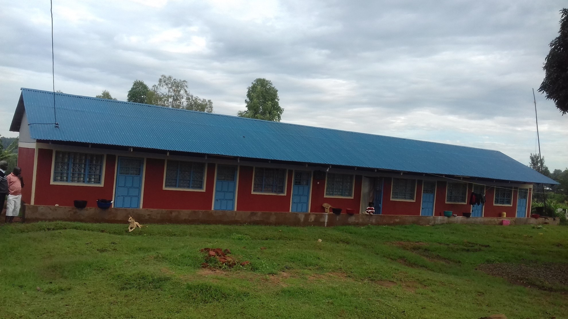
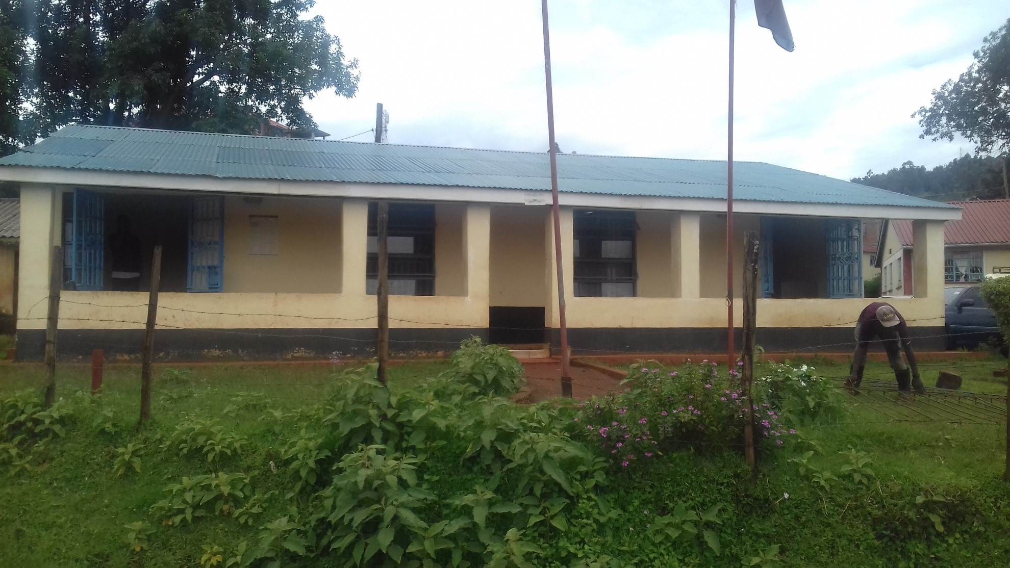
Kitutu Chache South Constituency is electoral Constituency number 269 of the republic of Kenya. It’s one of the eight (9) sub counties that make up Kisii county. It is endowed with fertile agricultural land, reliable rainfall abundant natural resources and a rich pool of human resource capital. The constituency has five wards namely Kitutu Central Ward, Nyaore Ward,Bogusero Ward,Nyatieko Ward and Bogeka Ward,. It is administratively in Kitutu Central Sub-County that is made up of one Divisions.
Physical, Topographic and Ecological Features;
The constituency lies between latitude 0 30‘and 1 0‘South and longitude 34 38‘and 35 0‘ East. The constituency is divided into five wards. constituencies namely: Bogeka, Kitutu central, Bogusero, Nyatieko and Nyakoe. It has several administrative locations and sublocations respectively.
Population distribution in the constituency is influenced by such factors as physical, historical, patterns of economic development and policies pertaining to land settlement.
Population densities are high in areas with large proportions of arable land. The constituency characterized by a hilly topography with several ridges and valleys and it is endowed with several rivers which flow from East to West Joining permanent rivers flowing to Lake Victoria. Soils in the constituency are generally good and fertile allowing for agricultural activities.
The constituency has a highland equatorial climate resulting into a bimodal rainfall pattern with two rainy seasons, the long rains occurring between February and June and the short rains occurring between September and early December. The adequate rainfall, coupled with moderate temperature is suitable for growing of crops like tea, coffee, maize, beans, and finger millet potatoes, bananas and groundnuts. This also makes it possible to practice dairy farming in the county.
Access NG-CDF Information on your Mobile


County Assembly Wards in Kitutu Chache-South Constituency :
Nyatieko Ward
- County Assembly Ward No.:
- County Assembly Ward Name: Nyatieko
- County Assembly Ward Population (Approx.):
- County Assembly Ward Area In Sq. Km (Approx.):
- County Assembly Ward Description: comprises part of
Bogeka Ward
- County Assembly Ward No.:
- County Assembly Ward Name: Bogeka
- County Assembly Ward Population (Approx.):
- County Assembly Ward Area In Sq. Km (Approx.):
- County Assembly Ward Description: comprises part of
Bogusero Ward
- County Assembly Ward No.:
- County Assembly Ward Name: Bogusero
- County Assembly Ward Population (Approx.):
- County Assembly Ward Area In Sq. Km (Approx.):
- County Assembly Ward Description: comprises part of
Kitutu Central Ward
- County Assembly Ward No.:
- County Assembly Ward Name: Kitutu Central
- County Assembly Ward Population (Approx.):
- County Assembly Ward Area In Sq. Km (Approx.):
- County Assembly Ward Description: comprises part of
Nyakoe Ward
- County Assembly Ward No.:
- County Assembly Ward Name: Nyakoe
- County Assembly Ward Population (Approx.):
- County Assembly Ward Area In Sq. Km (Approx.):
- County Assembly Ward Description: comprises part of